Сурет:EU location NED.png
Навигацияға өту
Іздеуге өту
Бұл алдын ала көрудің өлшемі: 800 × 600 пиксел. Басқа ажыратылымдықтар: 320 × 240 пиксел | 640 × 480 пиксел | 1024 × 768 пиксел | 1280 × 960 пиксел | 1600 × 1200 пиксел.
Түпнұсқа файл (1600 × 1200 пиксел, файл өлшемі: 469 КБ, MIME түрі: image/png)
| Бұл файл Wikimedia Commons? жобасынан, сондықтан басқа жобаларда да қолдануы мүмкін. Commons ашық лицензиялы медиа файл қоры. Сіз жобаға көмектесе аласыз. |
Ортаққордан қарау |

|
This locator map image could be re-created using vector graphics as an SVG file. This has several advantages; see Commons:Media for cleanup for more information. If an SVG form of this image is available, please upload it and afterwards replace this template with
{{vector version available|new image name}}.
It is recommended to name the SVG file “EU location NED.svg”—then the template Vector version available (or Vva) does not need the new image name parameter. |
| Сипаттамасы |
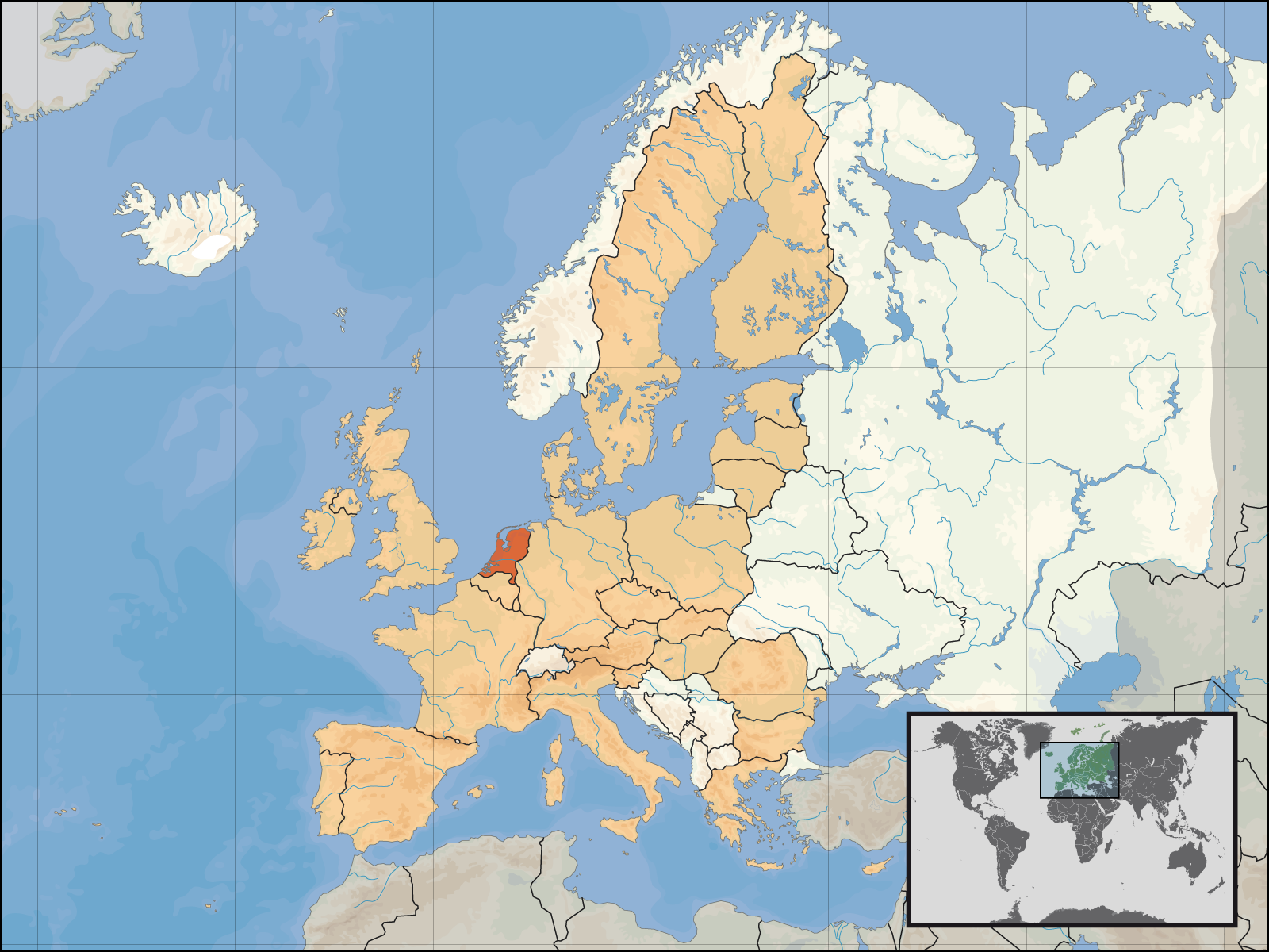
English: Location of the Netherlands within Europe and the European Union on the 1st of January 2007.
Deutsch: Lage des Königreichs der Niederlande in Europa und in der Europäischen Union am 1. Januar 2007 |
| Күні | |
| Көзі | Өзімнің туындым |
| Авторы | David Liuzzo |
| Рұқсат (Бұл файлды қайта қолдану) |
Бұл файл Creative Commons Attribution-Share Alike 4.0 International лизензиясы бойынша қолжетімді Атрибуция: David Liuzzo
|
Файл тарихы
Файл сол кезде қалай көрінгенін көру үшін күн/уақыт дегенге басыңыз.
| Күн/Уақыт | Нобай | Өлшемдер | Қатысушы | Пікір | |
|---|---|---|---|---|---|
| қазіргі | 01:47, 2007 ж. мамырдың 9 | | 1600 × 1200 (469 КБ) | Tene~commonswiki | Optimised further using DeflOpt (0;4096) |
| 00:09, 2007 ж. ақпанның 24 |  | 1600 × 1200 (526 КБ) | Tene~commonswiki | Optimised (0) | |
| 07:53, 2007 ж. қаңтардың 1 |  | 1600 × 1200 (711 КБ) | David Liuzzo | {{Information| |Description= {{de|Lage des Königreichs der Niederlande in Europa und in der Europäischen Union am 1. Januar 2007 }} {{en|Location of the Netherlands within Europe and |
Файл қолданылуы
Бұл файлға еш бет сілтемейді.
Глобалды файл қолданылуы
Бұл файл келесі басқа уикилерде қолданылады:
- as.wikipedia.org жобасында қолданылуы
- av.wikipedia.org жобасында қолданылуы
- ay.wikipedia.org жобасында қолданылуы
- bh.wikipedia.org жобасында қолданылуы
- bn.wikipedia.org жобасында қолданылуы
- crh.wikipedia.org жобасында қолданылуы
- da.wikipedia.org жобасында қолданылуы
- de.wiktionary.org жобасында қолданылуы
- dv.wikipedia.org жобасында қолданылуы
- dz.wikipedia.org жобасында қолданылуы
- en.wikipedia.org жобасында қолданылуы
- eu.wikipedia.org жобасында қолданылуы
- fa.wikipedia.org жобасында қолданылуы
- fo.wikipedia.org жобасында қолданылуы
- fr.wikipedia.org жобасында қолданылуы
- fur.wikipedia.org жобасында қолданылуы
- incubator.wikimedia.org жобасында қолданылуы
- it.wiktionary.org жобасында қолданылуы
- kg.wikipedia.org жобасында қолданылуы
- kn.wikipedia.org жобасында қолданылуы
- kv.wikipedia.org жобасында қолданылуы
- ln.wikipedia.org жобасында қолданылуы
- mai.wikipedia.org жобасында қолданылуы
- mdf.wikipedia.org жобасында қолданылуы
- mhr.wikipedia.org жобасында қолданылуы
- mk.wikipedia.org жобасында қолданылуы
- ml.wikipedia.org жобасында қолданылуы
- ms.wikipedia.org жобасында қолданылуы
- nap.wikipedia.org жобасында қолданылуы
Бұл файлдың глобалды қолданылуын көбірек көру.