Сурет:US-Canada border counties.png
Навигацияға өту
Іздеуге өту
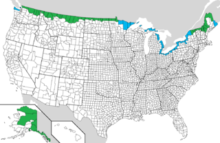
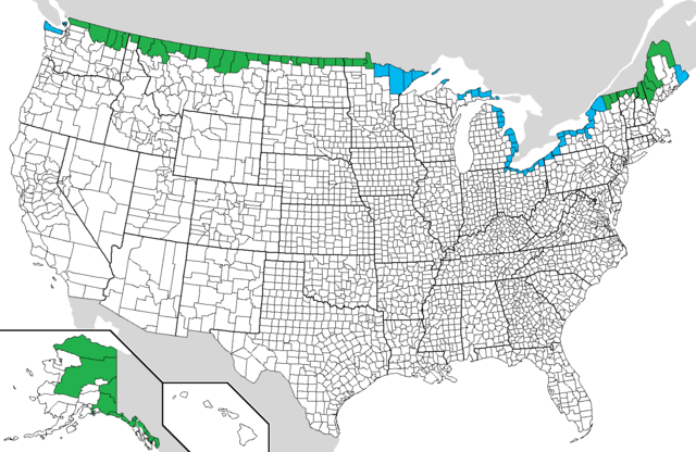
Бұл алдын ала көрудің өлшемі: 800 × 520 пиксел. Басқа ажыратылымдықтар: 320 × 208 пиксел | 640 × 416 пиксел | 1024 × 665 пиксел | 1513 × 983 пиксел.
Түпнұсқа файл (1513 × 983 пиксел, файл өлшемі: 179 КБ, MIME түрі: image/png)
| Бұл файл Wikimedia Commons? жобасынан, сондықтан басқа жобаларда да қолдануы мүмкін. Commons ашық лицензиялы медиа файл қоры. Сіз жобаға көмектесе аласыз. |
Ортаққордан қарау |
Түйін

|
This map image could be re-created using vector graphics as an SVG file. This has several advantages; see Commons:Media for cleanup for more information. If an SVG form of this image is available, please upload it and afterwards replace this template with
{{vector version available|new image name}}.
It is recommended to name the SVG file “US-Canada border counties.svg”—then the template Vector version available (or Vva) does not need the new image name parameter. |
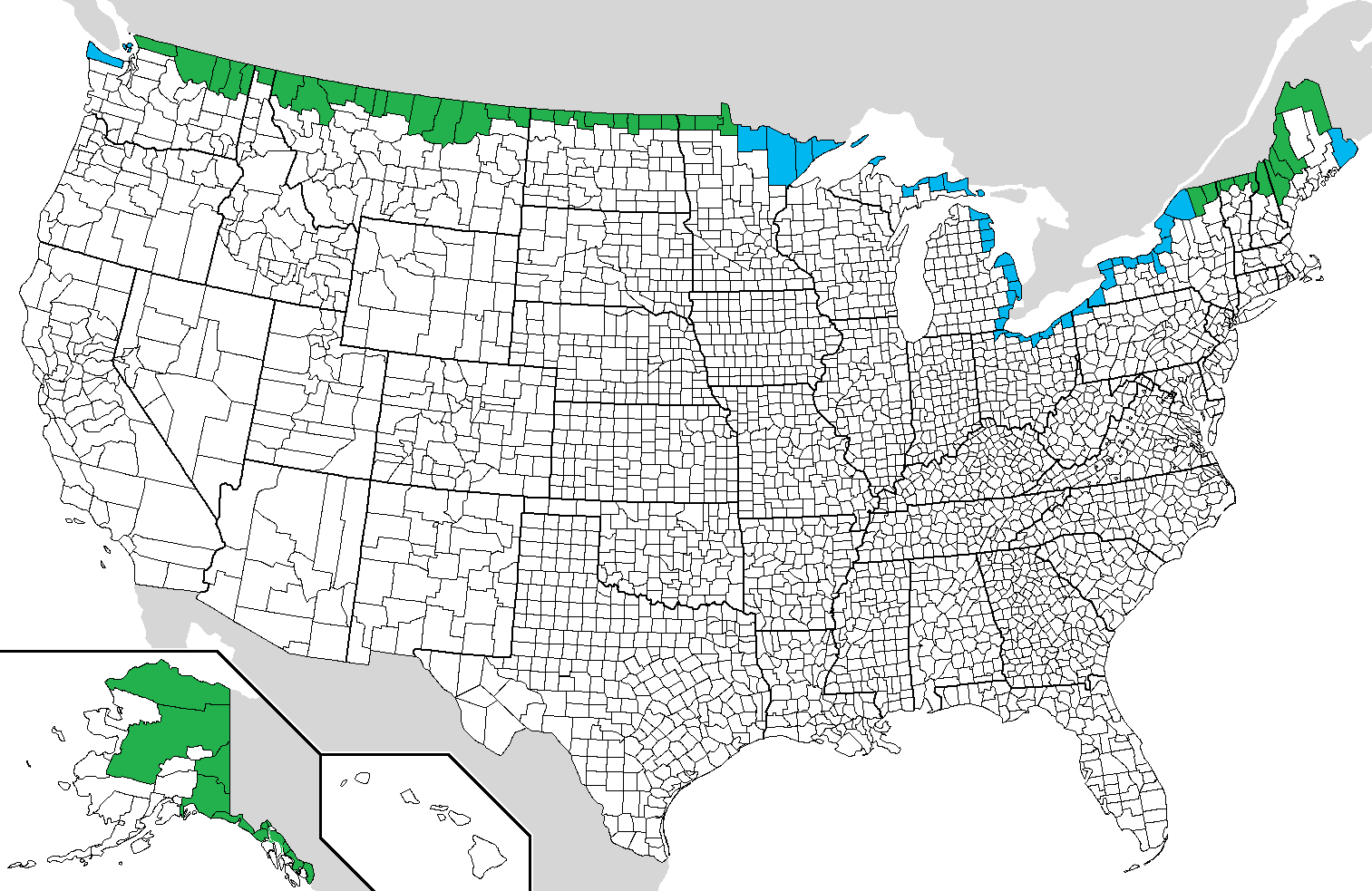
| Сипаттамасы | Counties on the US-Canada border |
| Күні | 12/7/2007 |
| Көзі | Өзімнің туындым |
| Авторы | Noddy |
Лицензиялау
| I, the copyright holder of this work, release this work into the public domain. This applies worldwide. In some countries this may not be legally possible; if so: I grant anyone the right to use this work for any purpose, without any conditions, unless such conditions are required by law. |
Файл тарихы
Файл сол кезде қалай көрінгенін көру үшін күн/уақыт дегенге басыңыз.
| Күн/Уақыт | Нобай | Өлшемдер | Қатысушы | Пікір | |
|---|---|---|---|---|---|
| қазіргі | 06:34, 2010 ж. шілденің 14 | | 1513 × 983 (179 КБ) | Apollo1758 | Added maritime borders to Clallam and San Juan counties in Washington |
| 08:00, 2009 ж. қарашаның 1 |  | 1513 × 983 (104 КБ) | Ibagli | Lake of the Woods county has a land border | |
| 21:43, 2009 ж. маусымның 20 |  | 1513 × 983 (185 КБ) | Phizzy | Updated map. | |
| 02:49, 2007 ж. желтоқсанның 8 |  | 1513 × 983 (185 КБ) | Noddy | {{Information |Description=Counties on the US-Canada border |Source=self-made |Date=12/7/2007 |Author= Noddy |Permission= |other_versions= }} |
Файл қолданылуы
Бұл файлды мына бет қолданады:
Глобалды файл қолданылуы
Бұл файл келесі басқа уикилерде қолданылады:
- ar.wikipedia.org жобасында қолданылуы
- ca.wikipedia.org жобасында қолданылуы
- de.wikipedia.org жобасында қолданылуы
- en.wikipedia.org жобасында қолданылуы
- fa.wikipedia.org жобасында қолданылуы
- fi.wikipedia.org жобасында қолданылуы
- fr.wikipedia.org жобасында қолданылуы
- he.wikipedia.org жобасында қолданылуы
- id.wikipedia.org жобасында қолданылуы
- it.wikipedia.org жобасында қолданылуы
- ja.wikipedia.org жобасында қолданылуы
- la.wikipedia.org жобасында қолданылуы
- ml.wikipedia.org жобасында қолданылуы
- ms.wikipedia.org жобасында қолданылуы
- nl.wikipedia.org жобасында қолданылуы
- pl.wikipedia.org жобасында қолданылуы
- pt.wikipedia.org жобасында қолданылуы
- ru.wikipedia.org жобасында қолданылуы
- uk.wikipedia.org жобасында қолданылуы
- zh.wikipedia.org жобасында қолданылуы